 |
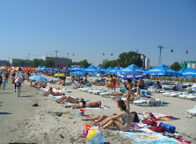
We visited the Black Sea at Mamaia, which is the biggest resort on the Romanian Black Sea shore. Mamaia is 8 km (5 miles) in length and only 300 m (300 yards) in width, being a strip of land between the Black Sea and Lake Siutghiol. 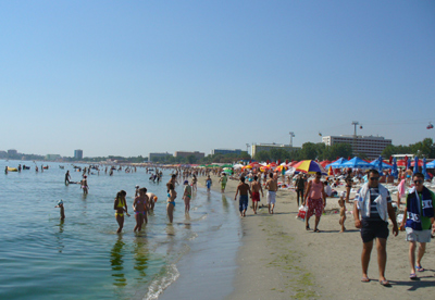
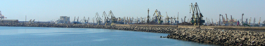
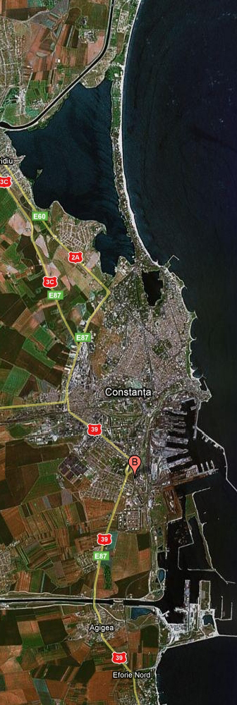
From the port, we sailed to the Danube-Black Sea Canal, seen in the Google map to the left. More details may be seen by zooming in on the Google map on this site, following the instructions at the bottom of that map.
|
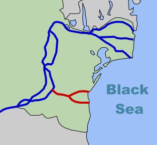
There are three major distributaries of the Danube (in blue on the map to the right) to the Black Sea, but they are not easily navigable, so a canal (in red) was built to provide access to the Black Sea from the Danube.
The earliest plans for building this canal were created about 1840-1845.
Following the building of a railway connection in 1860, goods were easily and inexpensively transported from Constanta by railroad, so plans for a canal were abandoned.
In 1927, a Romanian engineer drafted a new set of plans, but because of the Great Depression, World War II, and political turmoil in Romania, construction did not begin until 1949, after the establishment of a Romanian Communist regime.
The Canal was notorious as the site of labor camps in 1950s Communist Romania, when, at any given time, several tens of thousands political prisoners worked on its excavation. The total number of people used as a workforce for the entire period is unknown, as is the number of people who died in the construction. Work was completed in 1984-1987, more than three decades after camps were closed. See this article for more detail.
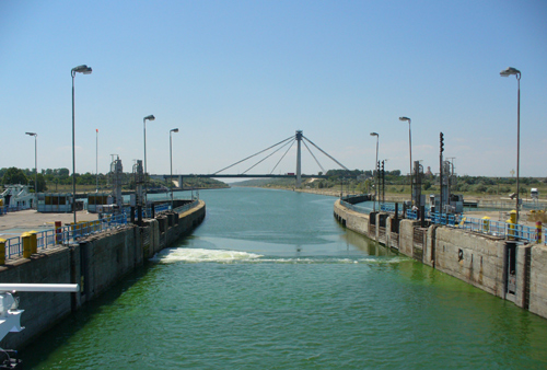
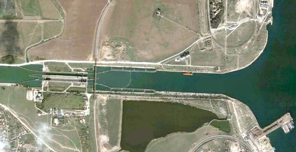 Shortly after we entered the Danube-Black Sea Canal, we encountered our first set of locks, as seen in this enlargement of the Google map above.
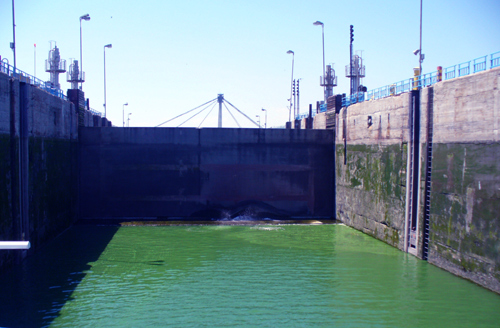 We entered the lock at the level of the Black Sea and the gate behind us closed.
 As the water level in the lock rose, we came closer to the level of the water in the canal.
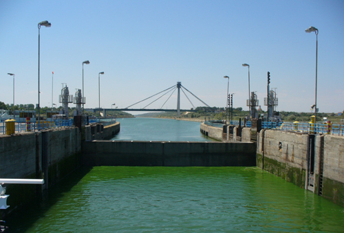
 Finally, we were at the same level and the gate was lowered so that our ship could pass over it.
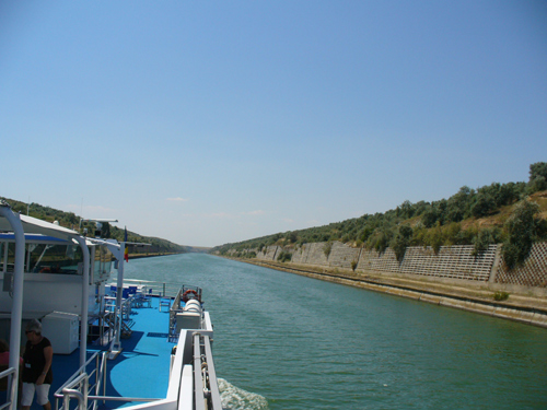 Then we sailed on the canal to the Danube.
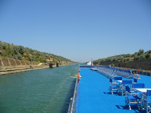 Looking back at the canal from our ship's sundeck.
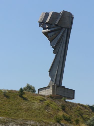 An unusual monument on the shore of the canal.
We continue on the Danube to our first stop at Ruse in Bulgaria where we visit the town of Veliko Tarnovo.